Magnitude |
:3.2 |
| Date & Time (UTC) | 2021-10-14 19:34:59.9 |
| Date & Time (Local) | 1400/7/22 23:04:59.9 |
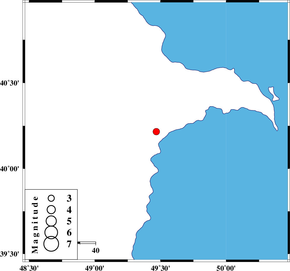
| Location | Lat:40.216 Lon: 49.468 |
| Region | Azerbaijan, 40 km South-West of Baku |
Nearest Cities |
|
| 40 km South West of Baku, Azerbaijan Province | |
| 135 km North East of Bileh Savar, Ardebil Province | |
| 138 km North East of Kushlu, Ardebil Province | |
| 140 km North East of Tazeh kand-e gadim, Ardebil Province | |
| 147 km North East of Pars Abad, Ardebil Province | |
| Depth | 12 km |
| Agency | |
Faults within 150 km: |
|
| TALESH_F (Length: 258 km) , Distance to epicenter: 144 km | |
| Number of Phases | 8 |
| RMS | 0.5 |
| Number of Stations | 8 |
| Error in Latitude | >5.9 km |
| Error in Longitude | 5.9 km |
| Error in Depth | 16 km |
Download waveform in seisan format
to download seisan software Click here
to access information about IIEES stations Click here
Amplitude | ||||||||
| UID | Agency | Station | Component | Amplitude | Period | Arrival Time | Proccessing Time | Signal Clip |
| 165797 | IIEES SC | GIDE | Z | 0.09 | 1 | 2021-10-14 19:35:52 | 2021-10-16 05:43:00 | n |
| 165798 | IIEES SC | ABGH | Z | 0.02 | 1 | 2021-10-14 19:36:22 | 2021-10-16 05:43:00 | n |
| 165799 | IIEES SC | ILBA | Z | 0.006 | 1 | 2021-10-14 19:36:45 | 2021-10-16 05:43:00 | n |
Phase | ||||||||||||
| Agency | Station | Component | Phase Type | Phase Quality | First Motion | Observed Arrival Time | Time Residual | Loc. Flag | Input Weight | Distance | Azimuth | |
| IIEES SC | GRMI | Z | EPn | E | 2021-10-14 19:35:33 | -0.1 | y | 0 | 207 | 221 | ||
| IIEES SC | GIDE | Z | EPn | E | 2021-10-14 19:35:52 | -0.9 | y | 0 | 367 | 175 | ||
| IIEES SC | ZNJK | Z | EPn | E | 2021-10-14 19:35:58 | 0.3 | y | 0 | 400 | 190 | ||
| IIEES SC | MAKU | Z | EPn | E | 2021-10-14 19:36:00 | -0.1 | y | 0 | 421 | 257 | ||
| IIEES SC | CHTH | Z | EPn | E | 2021-10-14 19:36:10 | 0.7 | y | 0 | 500 | 163 | ||
| IIEES SC | ABGH | Z | EPn | E | 2021-10-14 19:36:22 | -0.4 | y | 0 | 605 | 130 | ||
| IIEES SC | SHRO | Z | EPn | E | 2021-10-14 19:36:40 | 0.8 | y | 0 | 740 | 129 | ||
| IIEES SC | ILBA | Z | EPn | E | 2021-10-14 19:36:45 | 0 | y | 0 | 787 | 202 | ||