Magnitude |
:2.9 |
| Date & Time (UTC) | 2017-06-10 04:34:56.1 |
| Date & Time (Local) | 1396/3/20 09:04:56.1 |
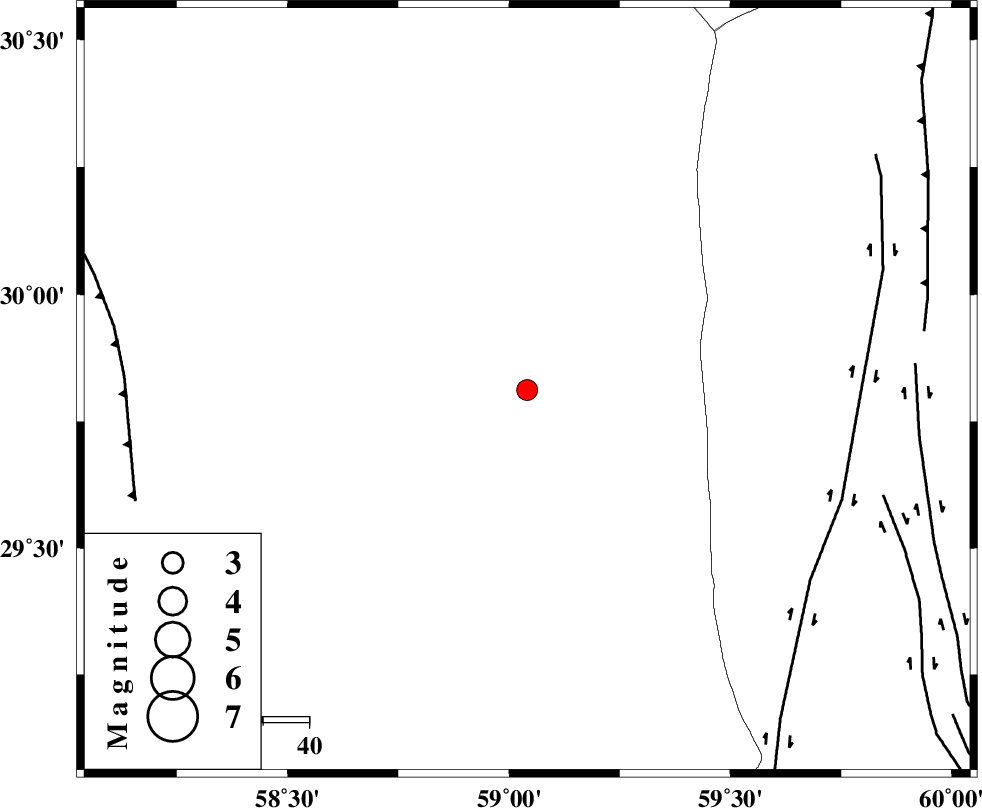
| Location | Lat:29.812 Lon: 59.041 |
| Region | Kerman Province, 102 km North-East of Bam |
Nearest Cities |
|
| 87 km East of Geshit, Kerman Province | |
| 91 km West of Nosratabad, Sistan va Baloochestan Province | |
| 96 km North East of Fahroj, Kerman Province | |
| 99 km North East of Poshtrud, Kerman Province | |
| 102 km North East of Bam, Kerman Province | |
| Depth | 14 km |
| Agency | |
Faults within 150 km: |
|
| KANURAK_F (Length: 135 km) , Distance to epicenter: 72 km | |
| NOSRATABAD_F_Z1 (Length: 109 km) , Distance to epicenter: 81 km | |
| NOSRATABAD_F_Z3 (Length: 150 km) , Distance to epicenter: 85 km | |
| Number of Phases | 6 |
| RMS | 0.2 |
| Number of Stations | 3 |
| Error in Latitude | >2.4 km |
| Error in Longitude | 1.7 km |
| Error in Depth | 5.5 km |
Download waveform in seisan format
to download seisan software Click here
to access information about IIEES stations Click here
Amplitude | ||||||||
| UID | Agency | Station | Component | Amplitude | Period | Arrival Time | Proccessing Time | Signal Clip |
| 116659 | IIEES | KRBR | N | 87.4 | 0.2 | 2017-06-10 04:36:01 | 2017-06-10 08:16:00 | n |
| 116660 | IIEES | KRBR | E | 72.6 | 0.67 | 2017-06-10 04:36:02 | 2017-06-10 08:16:00 | n |
Phase | ||||||||||||
| Agency | Station | Component | Phase Type | Phase Quality | First Motion | Observed Arrival Time | Time Residual | Loc. Flag | Input Weight | Distance | Azimuth | |
| IIEES | ZHSF | Z | Pg | E | 2017-06-10 04:35:24 | 0.16 | y | 169 | 97 | |||
| IIEES | ZHSF | N | Sg | E | 2017-06-10 04:35:44 | -0.14 | y | 169 | 97 | |||
| IIEES | KRBR | Z | Pn | E | 2017-06-10 04:35:31 | -0.27 | y | 221 | 275 | |||
| IIEES | KRBR | N | Sg | E | 2017-06-10 04:35:59 | 0.06 | y | 221 | 275 | |||
| IIEES | BSRN | Z | Pn | E | 2017-06-10 04:35:33 | 0.35 | y | 239 | 2 | |||
| IIEES | BSRN | N | Sg | E | 2017-06-10 04:36:03 | -0.16 | y | 239 | 2 | |||