| Prel. Rep. | Date | Time(UTC) | Time(Local) | Lat. | Lon. | Depth | Mag. | Region | Waveform |
| 2023/08/18 | 12:04:39.2 | 15:34:39.2 | 37.056 | 54.926 | 12 | ML:3.1 | Golestan Province, 18 km North of Ali Abad | ||
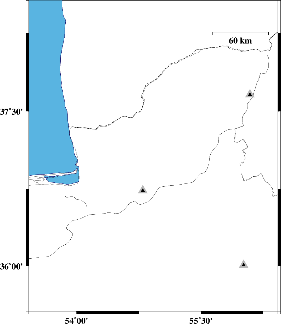
| 2023/08/14 | 19:36:48.4 | 23:06:48.4 | 37.368 | 55.901 | 12 | ML:3.4 | Golestan Province, 36 km -East of Kalaleh | ||
| 2023/08/14 | 19:26:47.1 | 22:56:47.1 | 37.36 | 55.935 | 12 | ML:3.2 | Golestan Province, 39 km -East of Kalaleh | ||
| 2023/07/26 | 20:05:12.6 | 23:35:12.6 | 37.773 | 56.039 | 10 | ML:3.2 | Golestan Province, 65 km North-East of Kalaleh | ||
| 2023/07/21 | 07:59:30.7 | 11:29:30.7 | 36.316 | 54.269 | 10 | ML:4.4 | Semnan Province, 18 km North of Damghan | ||
| 2023/07/20 | 07:27:49.8 | 10:57:49.8 | 36.778 | 54.912 | 12 | ML:3.5 | Golestan Province, 15 km South of Ali Abad | ||
| 2023/07/20 | 03:05:51.3 | 06:35:51.3 | 36.684 | 54.963 | 10 | ML:4.4 | Semnan Province, 29 km North of Shahrud | ||
| 2023/07/19 | 14:14:47.0 | 17:44:47.0 | 36.378 | 53.833 | 10 | ML:4.4 | Mazandaran Province, 45 km South-West of Bandar-e gaz |